Resources

cropped-R-logo-favi2.png
https://www.mappingforrights.org/wp-content/uploads/2023/11/cropped-R-logo-favi2.png
R-logo-favi2
mfr-logo-english2
mfr-logo-french2
RFUK-logo-white-strapline
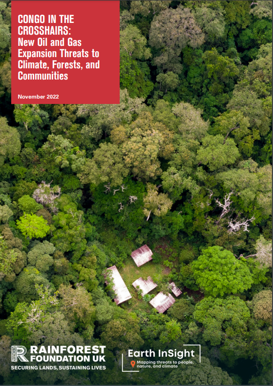
Crosshairs
MapStoryThumnbail
cropped-R_ORANGE_PLAIN-1.png
https://www.mappingforrights.org/wp-content/uploads/2022/05/cropped-R_ORANGE_PLAIN-1.png
cropped-R_ORANGE_PLAIN.png
https://www.mappingforrights.org/wp-content/uploads/2022/05/cropped-R_ORANGE_PLAIN.png