Participatory Mapping
Participatory mapping is a general term used to define a set of approaches and techniques that combines the tools of modern cartography with participatory methods to record and represent the spatial knowledge of local communities.
Also referred to as ‘community mapping’, it is based on the premise that local inhabitants hold accurate knowledge of their customary (and otherwise usually unrecorded) tenure of forests, as well as expert knowledge of their local environments which can be expressed in maps which are easily understandable. Maps created by local communities represent the place in which they live, showing features communities themselves perceive as important such as customary land boundaries, how they use the forest, sacred areas, and so on.
The process used to create participatory maps can be very valuable in itself. They are planned around a common community goal and should be made with input from an entire community. The result is a product that represents the knowledge of the entire community.
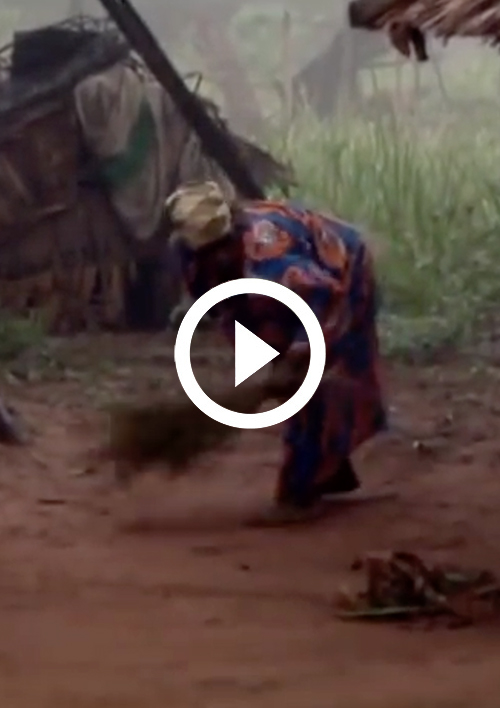
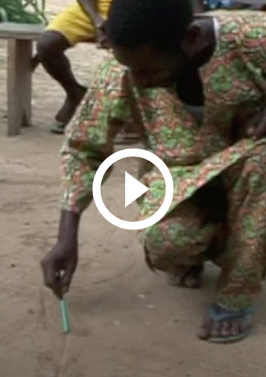
Participatory mapping can use a variety of different techniques, ranging from ‘earth maps’ (usually a drawing in sand in a communal space in a village) to sophisticated digital maps using a GIS (geographic information system). Where the maps are intended to inform outside groups, they follow recognised cartographic conventions.
It is a powerful tool that allows remote and marginalised communities to represent themselves spatially, bringing their local knowledge and perspectives to the attention of governmental authorities and decision-makers.
Mapping For Rights
MappingForRights, an initiative of the Rainforest Foundation UK and local partners, enables forest communities themselves to demonstrate their presence in the forest; decision-makers and the private sector to take account of and recognise this presence; and to assist the international community in ensuring that programmes concerned with the Congo Basin’s forests provide equitable benefits for local communities.
Since it was launched in 2011, it has supported hundreds of forest communities in the region to produce highly detailed maps of their lands and resources, covering over seven million hectares – an area the size of the Netherlands and Belgium combined.
PARTICIPATORY MAPPING RESOURCES
featured
resource
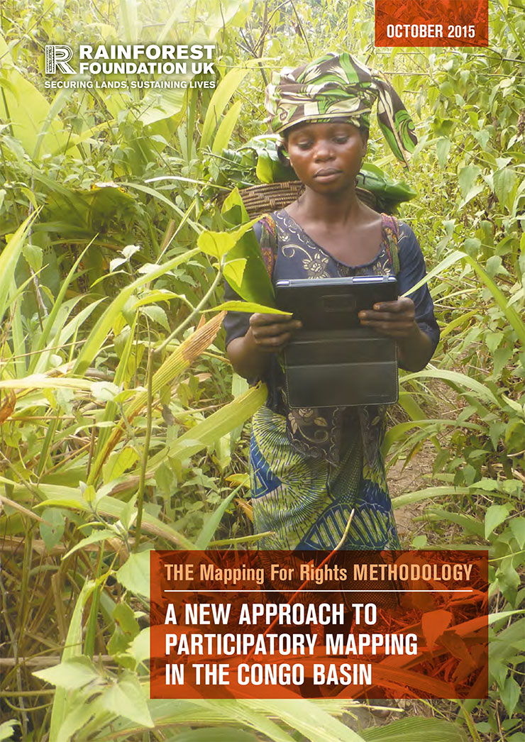
MappingForRights Methodology
MappingForRights is an approach to participatory (or ‘community’) mapping developed by the Rainforest Foundation UK and our local partners in the Congo Basin…
featured
resource
Ndima - Mapping our future
Accessing and using the forests upon which they depend for survival is one of the main challenges faced by local communities in the Congo Basin rainforests, especially for indigenous ‘Pygmies’.
featured
resource
WHAT IS PARTICIPATORY MAPPING
Mapping For Rights, an initiative of the Rainforest Foundation UK, aims to support indigenous peoples and forest dependent communities to secure rights to their land and livelihoods through the use of participatory mapping.